

Pages in this Folder:

Related Folders:
See also Department Site Map
Support Provided by

Toronto Parks and Trees Foundation

This website has received support from celos.ca through the Trillium foundation.
Publications
 |
 |
 |
 |
Comments?
For the basics, see
- Website & Privacy Policies
- How To Get Involved
- The Role of the Park
Search options:
Department Site Map
Custodians:
 Printer friendly version
Park Maps
|
To see larger version of the map, click on it. Then click on the enlarged version to get the full size version. | |
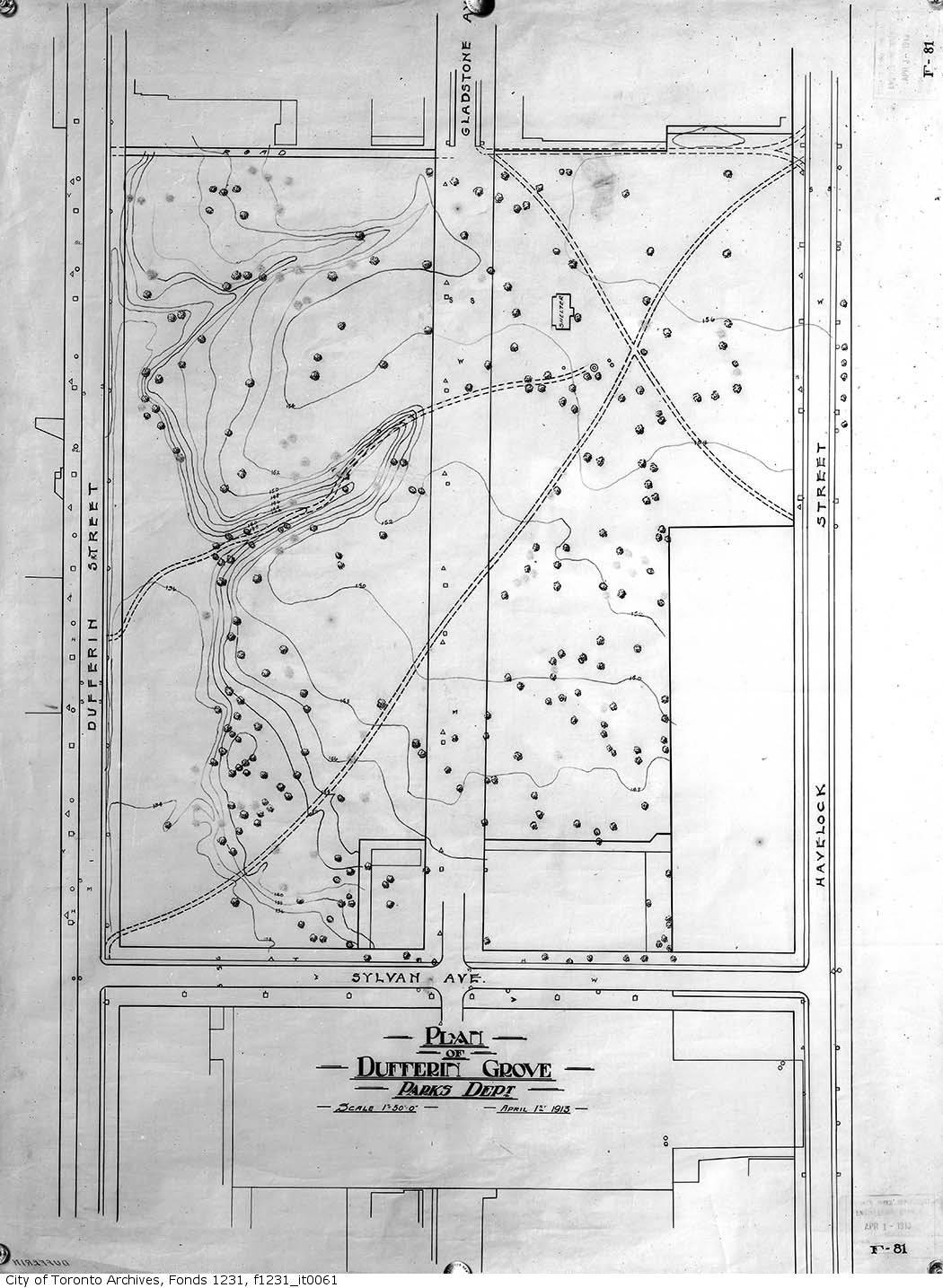 1913 |
 1923 |
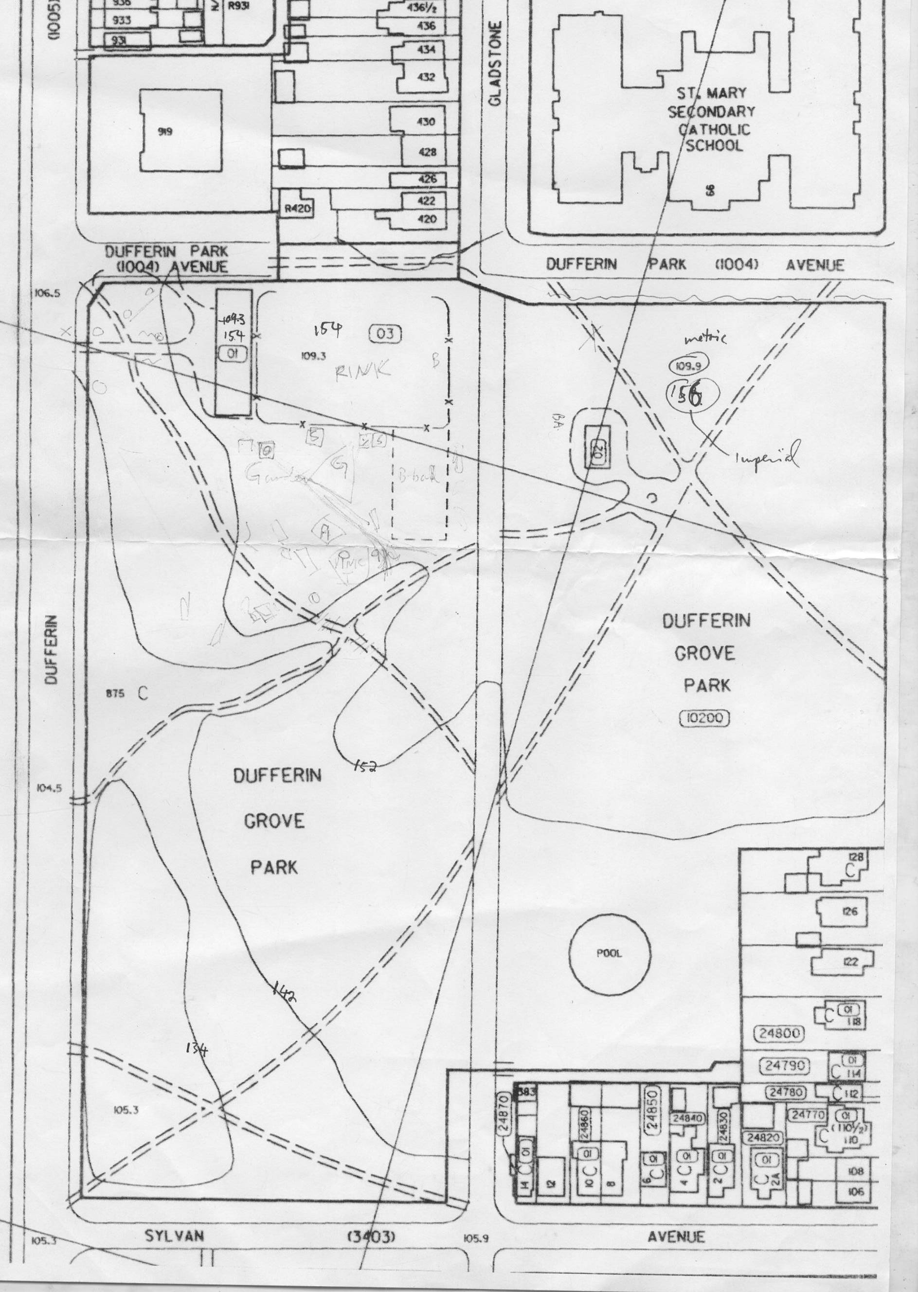 1970 It's possible that this map dates from the time when Gladstone Avenue ran through the park. Around that time there were big struggles around the apartment buildings on Rusholme -- the city had a plan to demolish more houses and to drive Dufferin Park Ave straight through from Dufferin Street to Hepbourne Street. But it was too late -- by then there was a growing opposition movement to high-rise developments and fast roads cutting through neighbourhoods (e.g. the Stop Spadina movement, the Quebec-Gothic Avenue movement). And pretty soon (when??) the road through the park was grassed over again too. | |